Reprinted from www.arheologubiedriba.lv.

Traslated with Google Translator
At the end of 2023, Gatis Kalniņš won the Juris Urtāns Dzirkaļi hillfort award announced by the Society of Latvian Archaeologists for his significant contribution to the recognition and popularization of Latvian hillforts. The creator, creator and maintainer of the well-known page latvijas-pilskalni.lv. In the interview, you can read how Gatis came to this idea, what works he has undertaken and what his future plans are.
First interest in learning about antiquity and ancient places.
A specific interest in ancient places and history did not come to me during school, but a little later. When I started listening to heavy music more actively, my wife and I got involved in an environment where folklore and antiquity are respected. I even became friends with the well-known group Skyforger and currently manage their website.
Going to a folk metal festival in Lithuania, we started adding various ancient places to our route. At that time, it was not so easy to find lesser-known ancient places on the Internet and to understand how to access them. At that time, there was only vietas.lv, where you could search for something. Although it must be admitted that vietas.lv has invested a substantial amount of work in marking a lot of archaeological objects. There are even more ancient places than in the place names database of the Geospatial Information Agency of Latvia.
Creating a page of ancient sites
That’s how we started collecting information about hillforts and other places for our own needs and interest. However, I didn’t want to ask friends and acquaintances to share knowledge, only to hide it on my computer. Therefore, in 2017 I created a public blog where anyone interested could read about the hillforts I know. Most likely, the tendency of a police inspector to catalog things and put them together in an understandable, reasoned system, led me to create my blog as a catalog with heaps of pages and structured information. As a basis for the descriptions of the mounds, I took E. Brastiņš’s hillforts books, which intentionally contains a lot of Latvian hillforts and which is copyright-free.
In the beginning, I was also opposed to various modern esoteric myths, but now I have retreated from it. I leave discussions on these issues to the Facebook platform. The authors of the most fanatical comments are usually also unable to send a structured text in an e-mail that would actually refute what their beliefs cannot accept. A couple of people have actually sent interesting information, which I also attach to the hillfort or ancient site with a note that a specific person, on a specific date, has sent one or the other fact about it. I’m also a little worried about the many stories about sunken castles that are still only in the heads of local historians. As long as this information is not fixed – it is very easy to manipulate and transform it according to the needs of the narrator.
latvijas-pilskalni.lv and 3D models
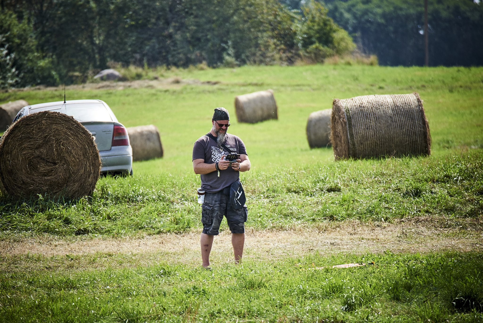
The biggest leap in the development of the page was the possibility to create 3D models of hillforts. As soon as I saw that it is also possible for Latvian objects, I started researching and experimenting until I mastered it. At the moment, I have trained so that one model takes me about 20 minutes. At first, I made models of mounds and added only their pictures to the website descriptions. But pictures are not the same as a model, where a person can look at a specific angle or zoom. Then I discovered Sketchfab, where it was already possible to place the models themselves for public access, so that everyone can modify and view as they wish. I don’t have to pay to use the service on Sketchfab, because all models are publicly downloadable, so I’ve already put over a thousand 3D models there. In the event that this site ever imposes volume limits or shuts down altogether, I am also making panoramic flight videos in parallel and uploading them to YouTube.
Funding and freedom
Although I am an outsider, I have come to understand over time how the work in the field of archeology is done – how the work depends on the approval of international projects or state funding at a given moment. I also remember this from the time when I worked in the police and I know that I do not want to return to that system again. I prefer to cover the technical expenses of the page from direct donations from visitors, rather than going to write projects. Perhaps more could be done through projects, but it imposes its own responsibilities and limitations. Self-initiative allows you to work more freely, according to your own deadlines and without wasting time on writing definitions and rationales for usefulness. There have also been experiences when cooperation partners want to edit the description structure, but I have a single system for the entire page – I don’t want to suddenly transform one object completely differently just to make it more convenient for someone else.
Free access data
I have always been focused on sharing information rather than hoarding and protecting it. I was already involved in the free open source community and liked the idea of making my 3D models available for wider use. Then people could use this data not only as viewers, but also to supplement and transform it. Therefore, I made my own open data storage (repository), the materials of which people can use for free in their works.
Since receiving the J. Urtāns Dzirkaļi hillfort award, I also began to think much more seriously about the further succession of these data, because none of us are eternal. The information on the Internet is that if a person wakes up in the morning and no longer wants to continue to maintain what he has started, then the question arises – what happens to this work done next? I probably have to think about how and when it would be possible to hand it over to an organization – so that one day the page latvijas-pilskalni.lv can no longer be opened.
Ancient sites of Latvia in three pages
In parallel with the page latvijas-pilskalni.lv, I also manage and maintain senvietas.lv and hillforts.eu. Although currently latvijas-pilskalni.lv is the most well-known data repository, a lot of information can also be found on senvietas.lv, the basis of which is the material prepared by the big project “Cult Identity”. It was a project funded by the European Union that gathered information about ancient sites in the Baltic Sea region. It describes ancient places not only from the coastal regions of Latvia (Kurzeme, Zemgale, Vidzeme), but also from Estonia and Sweden. I myself was not involved in this project, but when the project was finished, conversations with the people involved reveal that the page has been left without a maintainer and supervisor. In the end, the entire database was handed over to me. I have started adding objects to the page that were not yet surveyed. I am trying to note which objects were surveyed and described by the specialists of the Cult Identity Project and which I have now added. The materials prepared by specialists even contain useful recommendations for object owners and municipalities – how these objects should be maintained and maintained.
A third resource is hillforts.eu, which is more forward-looking. It is planned that the page will form the basis of a catalog of Iron Age barrows throughout Europe. Of course, the goal is high, but life brought together researchers from the University of Schleswig. In our mutual communication it appeared that I am not the only one who wants to create a European-wide electronic catalog. Then, while the professors are preparing projects with justifications, working groups and funding applications, I thought of starting to do something. I bought the domain and it is currently sitting as a landing page with only links to other resources.
I have already made 3D models of the Estonian hillforts I know. Last year, I sent them to the Estonian Society of Archaeologists and they subsequently created their own web map of the hillforts. They took part of the content from me (with all the instructions) and attached the researchers’ descriptions. It turns out that I have provoked them to such an event, and now the Estonian hillforts can also be viewed easily enough. Next is the Lithuanian hillforts, where I have not yet managed to find all the necessary data [ed. a week after the interview, a post appeared on Facebook about 300 new models of free access to Lithuanian castle mounds]. I also started looking at the Polish hillforts. In any case, if the professors’ big project is not supported, the data I made will still be publicly available.
Future and three in one
I am currently creating a new website design, where all three websites will be gathered together under one roof, but maintaining continuity. It will not be the case that when typing senvietas.lv in the search engine, the computer will no longer find anything – the link will still work. The tooltips will also remain, which will allow you to easily move from one page to another. However, technically, all three pages will be in one place and work with one information repository. Therefore, when a person opens, for example, Tērvete hillfort, he will be able to see not only information about the hillfort itself, but also other ancient places within a 10 km radius. These additional ancient places will not only be mounds, but also stones, caves, springs, etc. objects from senvietas.lv. It will be possible to immediately draw up your itinerary for visiting ancient places. I will say right away that the ancient graves will not be found on the maps, because that is where the question of grave robbers begins. You can say that they have this information anyway, but I just don’t want it on my conscience. When starting to create latvijas-pilskalni.lv, I talked with professor J. Urtāns to understand which ancient places could be endangered by visiting them. From that time I also drew a red line for myself at the ancient graves – so that people may rest in peace.
The new homepage will make it easier to add additional texts, references and pointers to information in other places. The next step will also be to review the object files stored by the National Cultural Heritage Administration and try to include some information from them. It has already been applied to some mounds, of course with all the indications. In some places, you can read very interesting information in the management documents.
Cooperation has been established with the developers of the LVM GEO application, who use the data I prepared with hillforts and coordinates. This could be developed on the new website, allowing to take more data faster and easier and work with sightseeing routes from the phone.
Free time and work with mounds
I no longer work as intensively as at the beginning – sitting on the program until two, three in the morning. I make and add slowly, without worrying that I might miss something. If a hillfort model is not made today, the world will not change from it tomorrow. In the beginning, I worked much harder, because the page was still very young and growing, now the rhythm is a little different. It helps me a lot to be an early bird. I get up at five on weekdays and do a lot of work early in the morning when the world is quiet and peaceful. This gives you time to work on the models, but not steal your evenings.