Already 100 free 3D models of United Kingdom hillforts available
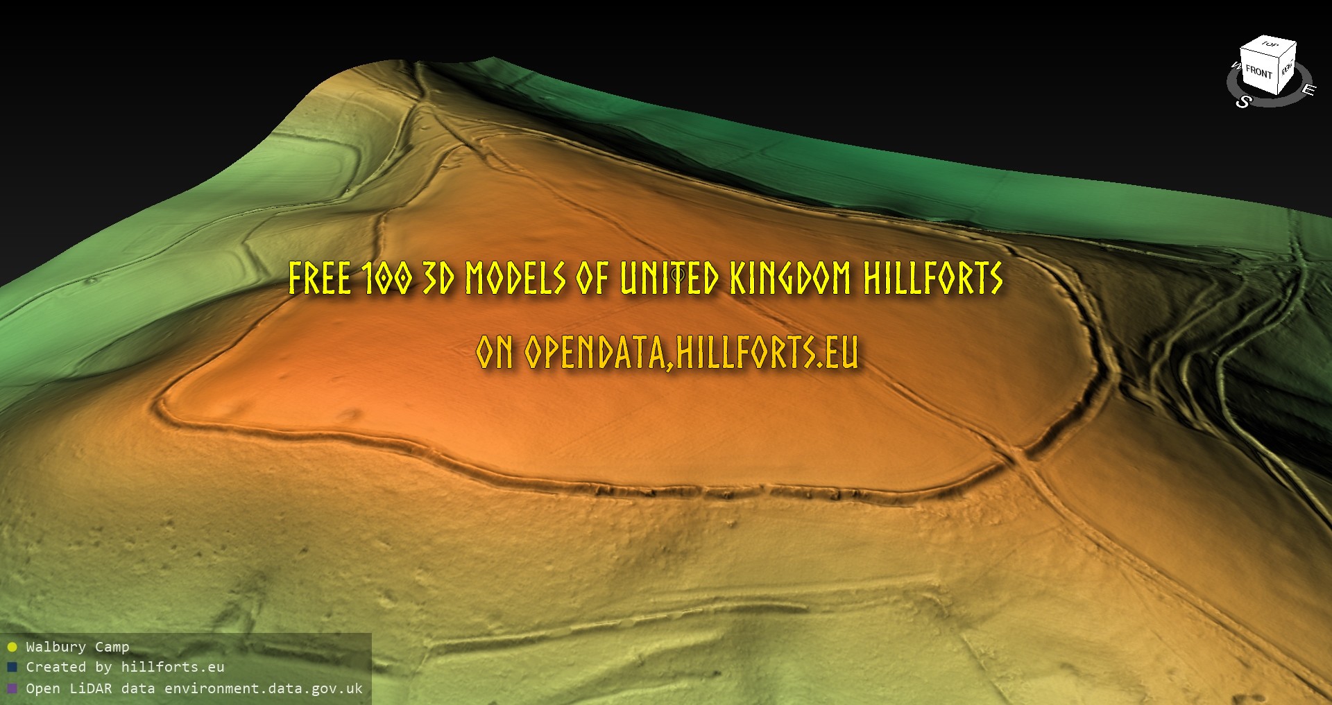
Explore on map: https://map.hillforts.eu Free open data: https://opendata.hillforts.eu/3D_models_of_hillforts/UK/

Explore on map: https://map.hillforts.eu Free open data: https://opendata.hillforts.eu/3D_models_of_hillforts/UK/

The non-profit amateur science project Hillforts.eu has already made available 300 3D models of hillforts in Poland available in the open data repository opendata.hillforts.eu.
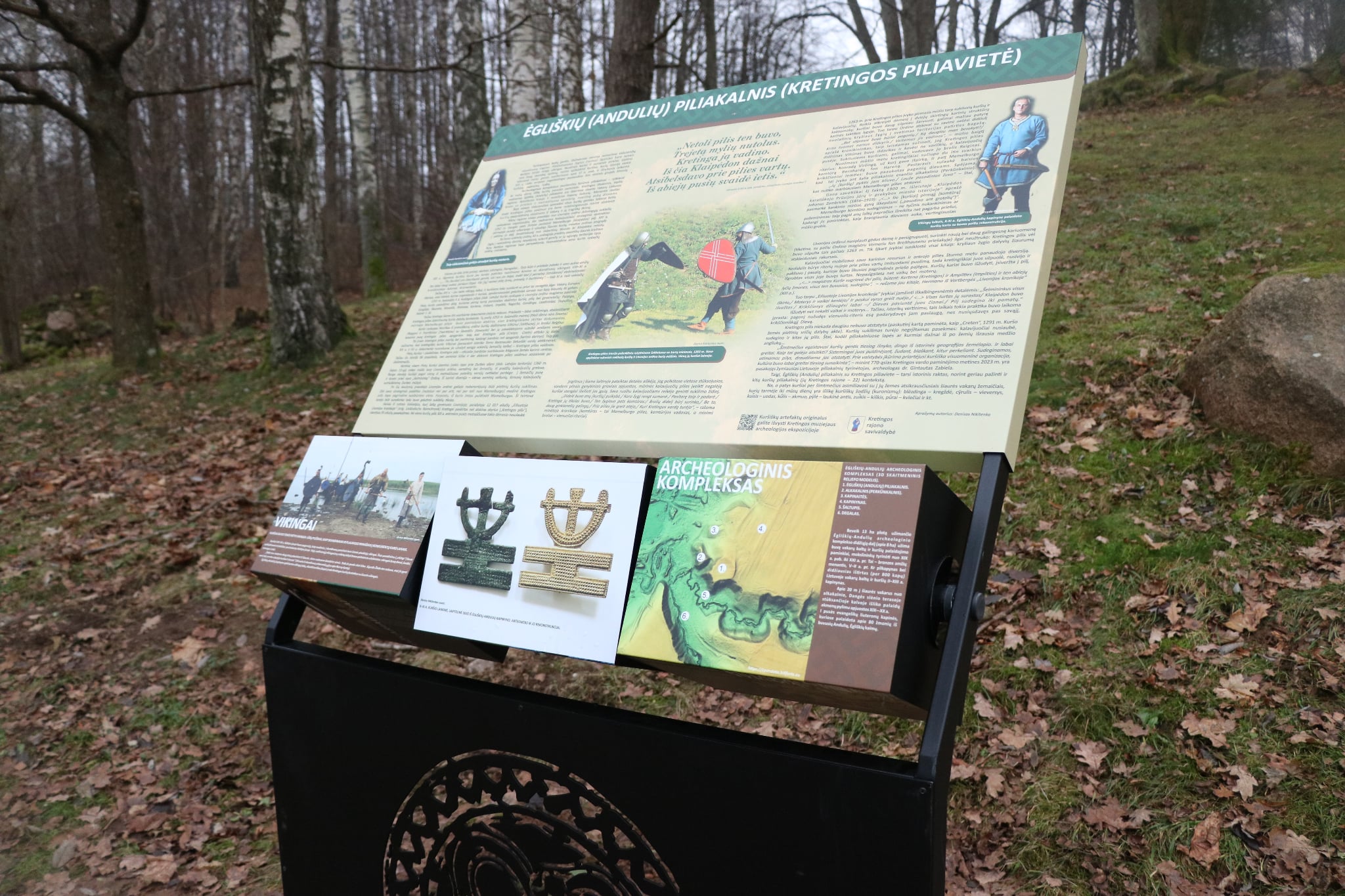
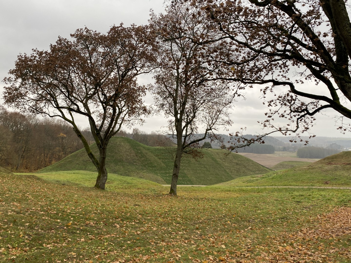
Information stand has been set up at the Ėgliškių (Andulių) hillfort
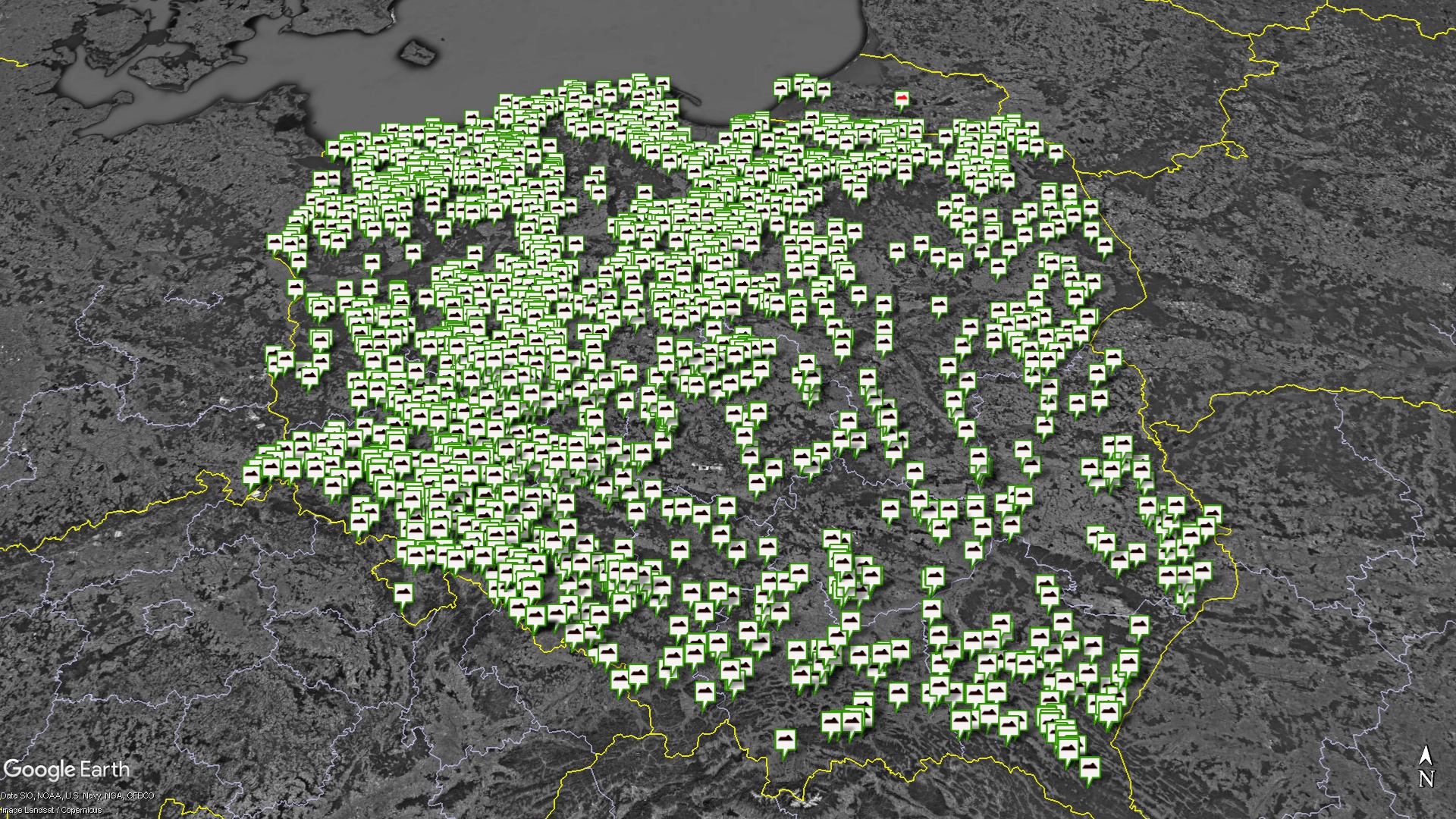
As part of the creation of a European database of hillforts, a map of hillforts in Poland has been created.
Translated by Google Translator. Measurements taken using the planlaufTerrain app. During the measurements, the length, width, height, length of the plain and width of the plain were recorded. Each measurement is recorded on the screen. More than 800 3D models created. The measurement data is currently available as a file in the open data […]
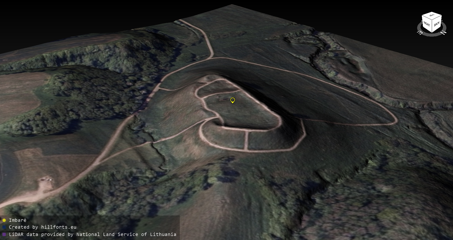
Lithuanian LIDAR / orthophoto raw data received
My first presentation in english.
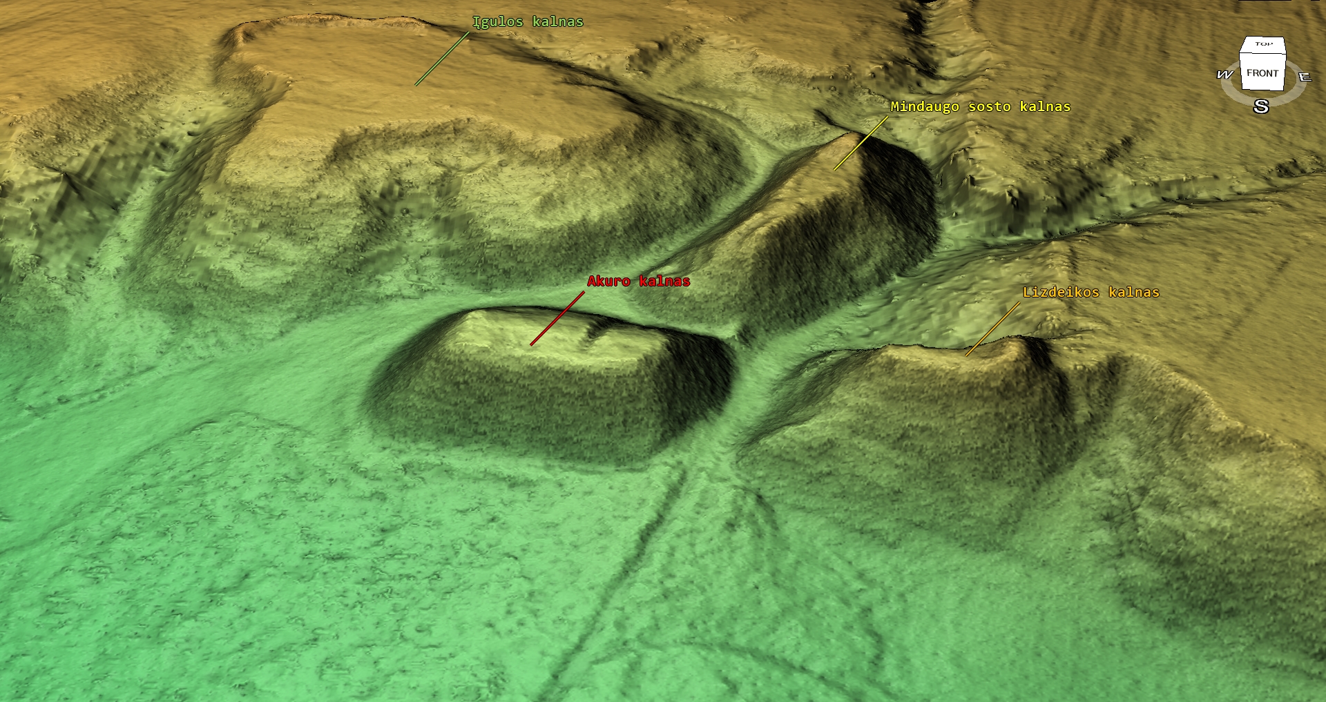
It was already clear that the 3D models of the Lithuanian Iron Age hillforts would not be successful as quickly as the ones in Latvia and Estonia, but the political situation in Europe has made it even more difficult.
Hillforts mapping, 3D modeling and open data sharing. https://balticgitconf.eu/
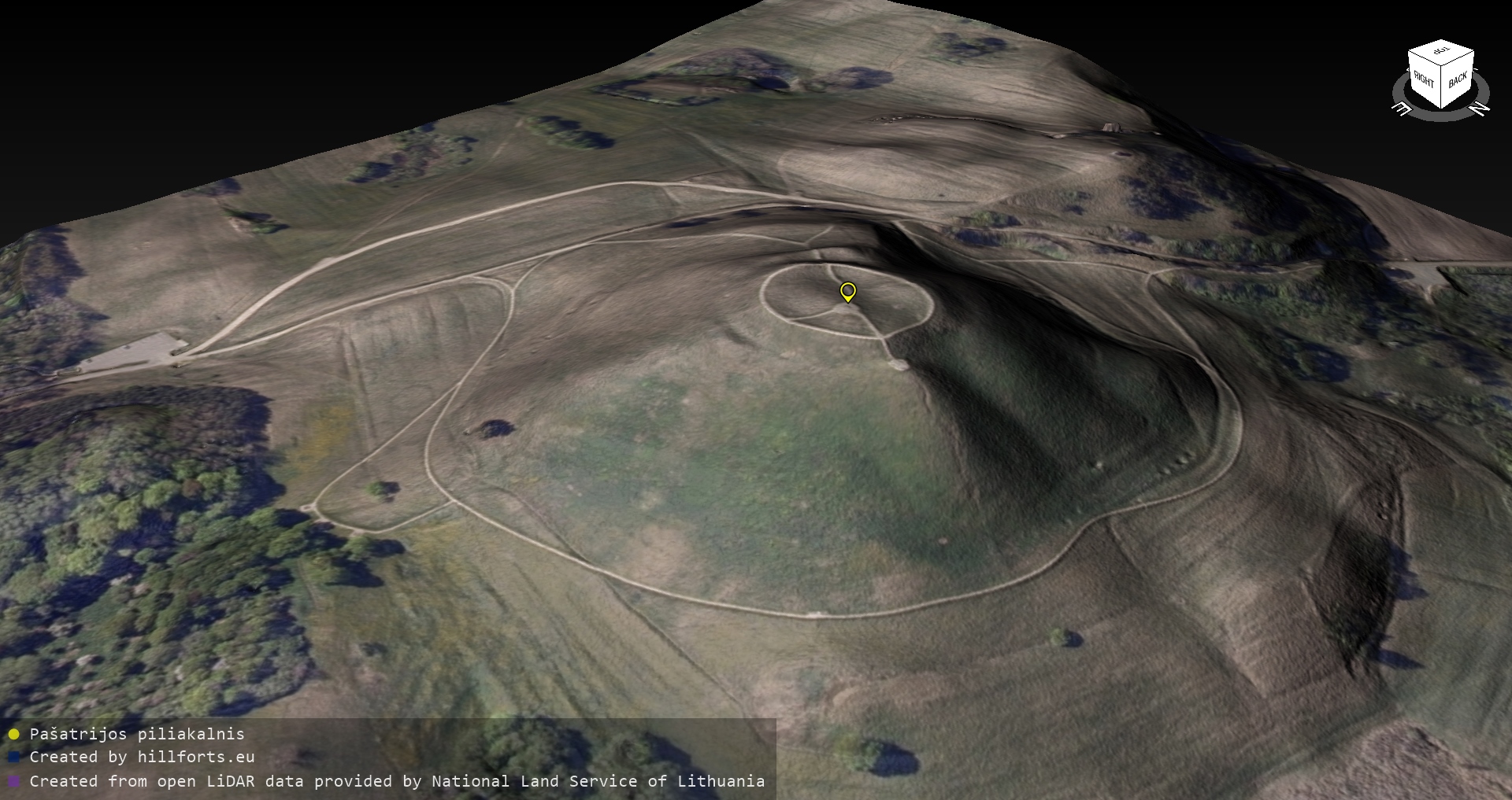
As part of the creation of a data repository of European Iron Age hillforts, a digital resurvey of Lithuanian hillforts has been started.